Flagship Projects
Rocky Brook
Strategically located precious and base metals opportunity in a top-tier jurisdiction
Location
Northern New Brunswick
Size
33,838 ha
Stage
Grassroots
Deposit Type(s)
Orogenic and Epithermal Au, VMS
Overview and Location
The Rocky Brook Project comprises approximately 33,838 hectares in 79 mineral claims over four properties, Fournier Lake Gold, Oxford Gold, Boudreau Brook-Fossil Hill, and Restigouche properties, located in the prolific Bathurst Mining Camp and recently evolving gold district of northern New Brunswick.
The Project is adjacent to and along strike from the Williams Brook Project, owned by Kinross Gold Corporation and Puma Exploration Inc., where a zone of high-grade gold mineralization was discovered over broad widths including drill intervals up to 5.55 g/t Au over 50.15 m.
The Project is also located adjacent to a 30-kilometre-long section of the Rocky Brook-Millstream fault and associated McIntyre and Ramsay Brook faults; an important structural zone controlling gold mineralization within the region. The Project covers a zone of mafic volcanics and sedimentary rocks that show strong potential to host Cu-Co mineralization, near the past-producing Caribou Mine and the Murray Brook Deposit.
The Company acquired this significant and strategic exploration land package, between December 2024 to January 2026 via a combination of four separate option agreements and staking of mineral claims.
Project Highlights
- Located in prolific Bathurst mining camp and top-tier mining jurisdiction of New Brunswick;
- The Project covers a 30-km extent of the Rocky Brook-Millstream Fault system and along strike from Kinross-Puma’s Lynx Zone gold discovery;
- The Project covers 40-km extent of favourable California Lake felsic volcanic and sedimentary rocks that are host to the nearby Restigouche, Murray Brook, and Caribou VMS Deposits;
- The Project covers the Restigouche C-4 and C-5 footwall Cu-rich “feeder” zones where previous historical drilling at the C-4 zone and in hole C-4 that intersected 4.36 m grading 0.2% Cu, 1.6% Pb, and 6.74% Zn (from 17.3 to 21.6 m). The best intersection in the C-5 area was reported in hole C-5 that intersected 2.06% Cu and 0.57% Zn over 4.5 m (from 51.9 to 56.4 m);
- Recent discovery in 2023 of high-grade gold assays from grab samples* assaying up to 5.23 g/t Au over a 400 m area at Fournier Lake;
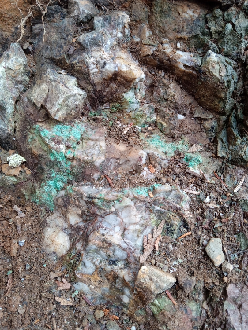
- Previous work at the Fossil Hill Zone has discovered high-grade copper-cobalt mineralization with grab samples* assaying up to 16.65% Cu and 0.64% Co;
- Previous work at the Boudreau Brook prospect has discovered copper mineralization in grab samples* assaying up to 3% Cu; and
- Year-round accessibility with road access to the majority of the Project.
(* Grab samples are selective by nature and may not represent the true metal content of the mineralized zone.)
Fournier Lake Gold Property
Location
The Fournier Lake gold occurrences sit adjacent to, as well as south of, the Rocky Brook-Millstream Fault Zone, and are transected by the McCormack Brook and McIntrye Brook faults; along or near that same fault systems that host the nearby Lynx Zone and Jonpol prospects.
Geology
The Property is underlain by Silurian sedimentary rocks of the Petit Rocher Group, a deformed sequence of conglomerate, sandstone, siltstone and interbedded calcareous mudstone that are intruded by Devonian-aged Ramsay Brook gabbro (Wilson, 2013a). The Fournier Lake occurrences were discovered in 2023 by prospector Tim Lavoie where rock outcrop samples* returned assays of 5.23 g/t Au, 1.57 g/t Au, 1.16 g/t Au, and 1.07 g/t Au over a 400-metre area. Alteration in the host gabbro comprises quartz-iron carbonate-sericite, hematite and trace to 1% pyrite that is exposed intermittently in trenches and outcrops over a 350-metre strike extent. Gold assays up to 2.11 g/t gold were obtained from surface rock grab samples* in the 2025 program.
Proximity to Other Significant Gold Prospects
The Fournier Lake property is located to the north and east of several significant gold prospects highlighted by the adjacent Williams Brook Project where Kinross and Puma recently completed a joint venture agreement whereby Kinross can earn a 65% interest in the Williams Brook Project by spending $16,750,000 in exploration during a period of five (5) years (including a firm commitment of $2,000,000 with at least 5,000 metres of drilling during the first 18 months). Kinross also completed a concurrent private placement of $1,011,473.47 by purchasing 9.9% of the issued and outstanding shares of Puma (refer to the Puma Exploration press release dated October 24, 2024). In January 2026, Kinross exercised its right, granted under the investor rights agreement (“IRA”) dated October 23, 2024, to increase its ownership stake in Puma’s share capital from 9.1% to 14.8% (on an undiluted basis) and 17.4% (on a partially diluted basis).
Gold mineralization at the Lynx Zone, located 30 kms southwest of Fournier Lake, has been drilled by Puma over a strike length of 750 m, a width of 100 m, a depth of 200 m, and remains open at depth and along strike. The gold, including visible gold, is hosted in quartz veins and breccias within rhyolite units at the contact with sedimentary rocks. Drilling has returned assays up to 5.55 g/t Au over 50.15 m (WB21-02). At Jonpol, historical diamond drilling returned 1.13 g/t Au over 12.0 m, 1.37 g/t Au over 6.0 m, 1.37 g/t Au over 1.4 m, 3.89 g/t Au over 1.0 m, and 2.78 g/t Au over 1.5 m.
Oxford Gold Property
Location
The Oxford Property hosts the high-grade polymetallic Oxford Brook occurrence and is intersected by an untested segment of the Rocky Brook-Millstream Fault (RBMF), the Cravens Gulch fault and the Ten Mile Brook fault.
Geology
The southern block of the Oxford Property is centered on a band of mid-Ordovician felsic volcanic rocks, associated subvolcanic intrusives and Ordovician-Silurian sedimentary rocks, whereas the norther block is completely underlain by Ordovician-Silurian sedimentary rocks. Precious and base metal mineralization was discovered by trenching and is hosted within felsic volcanic rocks with VMS-style zinc-lead-silver mineralization. The Project is adjacent to and northwest of the regional-scale RBMF that is known to host orogenic gold mineralization. Previous exploration work on the Oxford Project has led to the discovery of gold and base metal mineralization starting in 2013 when prospectors Tim Lavoie and Pierre-Luc Guitard discovered mineralization assaying up to 2.71 g/t Au, up to 14.9 g/t Ag, up to 1.11% Zn, and up to 0.48% Pb from 23 rock grab samples* collected during initial exploration. Follow-up sampling in 2014 resulted in rock samples* from a trench exposure assaying up to 59.1 g/t Ag, 8.9% Zn, and 5.16% Pb (Work Reports 477598 and 477875). The north claim block has seen minimal exploration, though it displays anomalous gold in stream sediment values from the New Brunswick Department of Natural Resources data published in March 2026.
Proximity to Other Significant Gold Prospects
The Oxford Property is located 7 kilometres to the northwest of Puma Exploration–Kinross’ Williams Brook Lynx Zone and sits 9.5 km west of the Lion Gold Zone along strike of the McCormack Brook Fault. The Lion Zone is an area measuring approximately 400 metres along strike and 10 to 25 metres in width, with grab samples returning values of up to 72.20 g/t Au* (Puma, September 4, 2025 News Release).
Puma Exploration–Kinross’ proposed Winter 2026 drill program at the LiGZ will consist of seven (7) drill holes for approximately 1,050 metres. The drill holes will test fold hinges and quartz veins within the mapped gabbro and will follow up on channel-sampling results.
Boudreau Brook-Fossil Hill Property
Location
The Fossil Hill and Boudreau Brook copper-cobalt occurrences are located to the south of the Ramsay Brook and Rocky Brook-Millstream Faults.
Geology
The Fossil Hill and Boudreau Brook copper-cobalt occurrences are hosted within an area of complexly deformed and thrust faulted volcanic and sedimentary rocks. The property is underlain by mafic volcanic rocks and associated gabbro of the middle to late California Lake and Sormany groups that are overlain by Silurian conglomerate and sandstone of the Petit Rocher Group (Wilson, 2013b). Previous work has led to the discovery of high-grade copper and cobalt at the Fossil Hill prospect with grab samples* from trenches assaying up to 16.65% Cu and 0.64% Co, and high-grade copper at the Boudreau Brook prospect assaying up to 3% Cu.
Proximity to Nearby Deposits
The Boudreau Brook and Fossil Hill occurrences sit approximately 5 km to the north and northwest of the nearby Murray Brook Deposit and Caribou Mines in an area that has not received as much exploration as these more developed deposits. The Murray Brook Deposit hosts a Measured & Indicated mineral resource of 21.1 Mt grading 2.49% Zn, 0.45 % Cu, 0.91 % Pb, 0.56 g/t Au, and 38.6 g/t Ag (1.41% CuEq or 4.77% ZnEq) (NI 43-101 technical report by Stone et al., 2023^). The nearby Caribou Mine and Mill has been in production intermittently since its discovery, with most recent mining by Trevali Mining Corporation from 2015 to 2022 and is currently on care and maintenance. The Caribou Complex currently hosts a 3,000 tonne per day SAG (semi-autogenous grinding) mill. Canadian Copper Inc. is currently in the process of acquiring the Caribou Complex with plans to mine and process the ore from their 100% owned Murray Brook Deposit at Caribou.
Restigouche Property
Location
The C-4 and C-5 zones sit on the Property immediately to the northwest of the Restigouche deposit. These significant zones represent the copper-rich footwall to the Restigouche deposit that have not been the focus of previous mining nor extensive drill testing.
Geology.
The Restigouche Property covers approximately 40 kilometres of prospective strike length following the contact between felsic volcanic and sedimentary rocks of the Ordovician Mount Brittain Formation (California Lake Group). This horizon is host to the nearby stratiform volcanogenic zinc-lead-silver-copper, past-producing, Restigouche deposit and its underlying Cu-rich footwall stringer (feeder) C-4 and C-5 zones. A total of 755,978 tonnes of ore grading 6.45% Zn, 4.87% Pb, and 107 g/t Ag was mined from Restigouche in the late 1990s and 2008 by Breakwater Resource and Blue Note Mining (Armstrong, 2021*). An historical measured and indicated mineral resource comprising 1.08 million tonnes grading 5.00% Zn, 3.30% Pb, 0.22% Cu, 46.30 g/t Ag, and 0.52 g/t Au and an historical inferred mineral resource comprising 0.58 million tonnes grading 6.10% Zn, 4.30% Pb, 0.28% Cu, 67.83 g/t Ag, and 0.81 g/t Au were estimated by Trevali Mining in 2021 (Armstrong, 2021*).
The best intersection in the C-4 area was reported in hole C-4 that intersected 4.36 m grading 0.2% Cu, 1.6% Pb and 6.74% Zn (from 17.3 to 21.6 m). The best intersections in the C-5 area were reported in hole C-5 that intersected 2.06% Cu and 0.57% Zn over 4.5 m (from 51.9 to 56.4 metres) and in hole C-84 that intersected 1.3 m grading 1.4% Cu (from 26.3 to 27.6 m) (Hamilton, 2015^^).
There are several other mineral occurrences on the Property that have not been tested by significant advanced exploration and include the Tower Brook, Upsalquitch Lake, and Cook Savoie occurrences.
Proximity to Nearby Deposits
The Restigouche Property sits adjacent to the Restigouche Deposit and immediately southwest along strike from the nearby Murray Brook Deposit and Caribou Mines in an area that has not received as much exploration as these more developed deposits. The Murray Brook Deposit hosts a Measured & Indicated mineral resource of 21.1 Mt grading 2.49% Zn, 0.45 % Cu, 0.91 % Pb, 0.56 g/t Au, and 38.6 g/t Ag (1.41% CuEq or 4.77% ZnEq)(NI43-101 technical report by Stone et al., 2023^). The nearby Caribou Mine and Mill has been in production intermittently since its discovery, with the most recent mining by Trevali Mining Corporation from 2015 to 2022 and is currently on care and maintenance. The Caribou Complex currently hosts a 3,000 tonne per day SAG (semi-autogenous grinding) mill. Canadian Copper Inc. is currently in the process of acquiring the Caribou Complex in the second quarter of 2026 with plans to mine and process the ore from their 100% owned Murray Brook Deposit at Caribou.
The Bathurst Camp
The Bathurst Mining Camp is one of the world’s oldest base metal (lead, zinc, copper, gold and silver) mining districts hosting one of Canada’s largest volcanogenic massive sulphide (VMS) deposits, with the past-producing Brunswick No. 12 Mine having operated for 49 years. The Bathurst Mining camp is host to over 46 mineral deposits, several of which have been mined, including the Brunswick No. 6, Heath Steele, Wedge, Stratmat, Half Mile Lake, Caribou and Murray Brook. A total of 136,643,367 tonnes of ore grading 3.44% Pb, 8.74% Zn, 0.37% Cu, and 102.2 g/t Ag were mined from the Bathurst Mining Camp (McCutcheon and Walker, 2020**).
2025 Exploration at Rocky Brook
Summary: Completed Actions
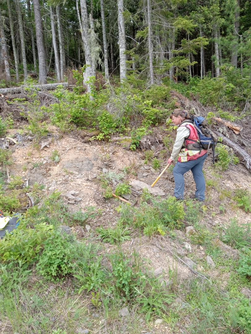
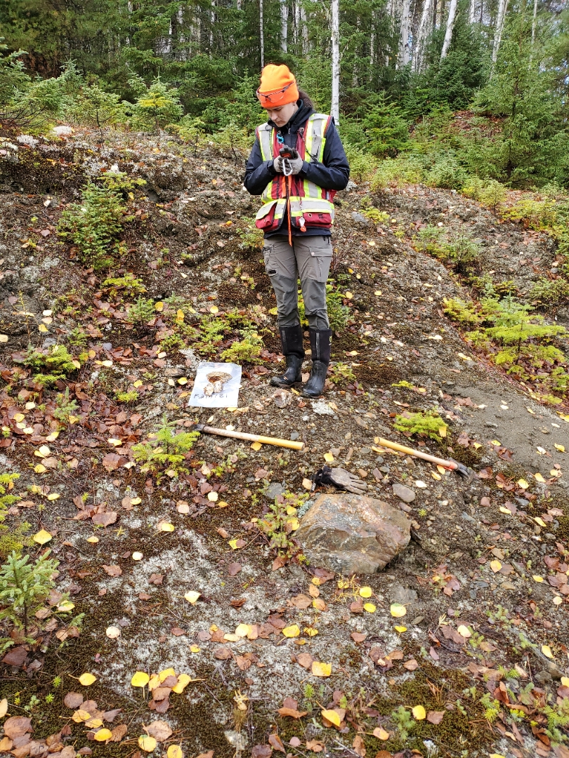
- 2,033 B-Horizon soils to follow-up on Cu-Co mineralization from trenches, grab samples and soils on the 15 km Boudreau Brook Trend
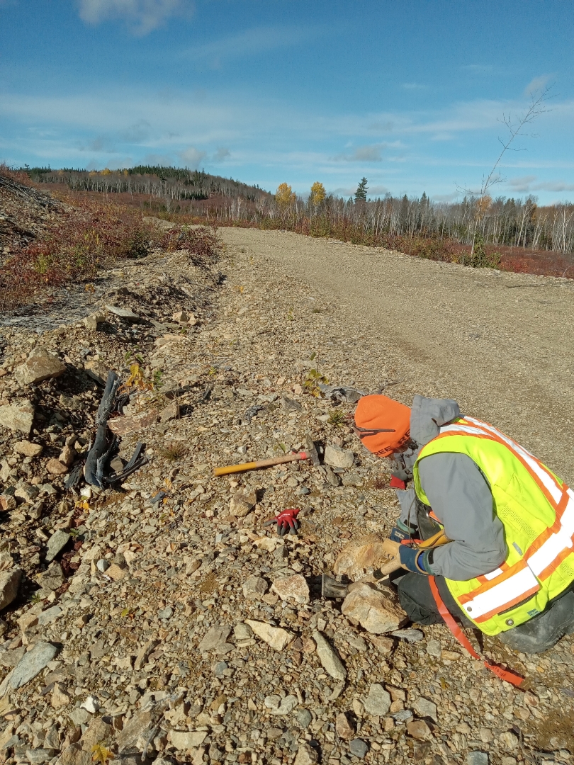
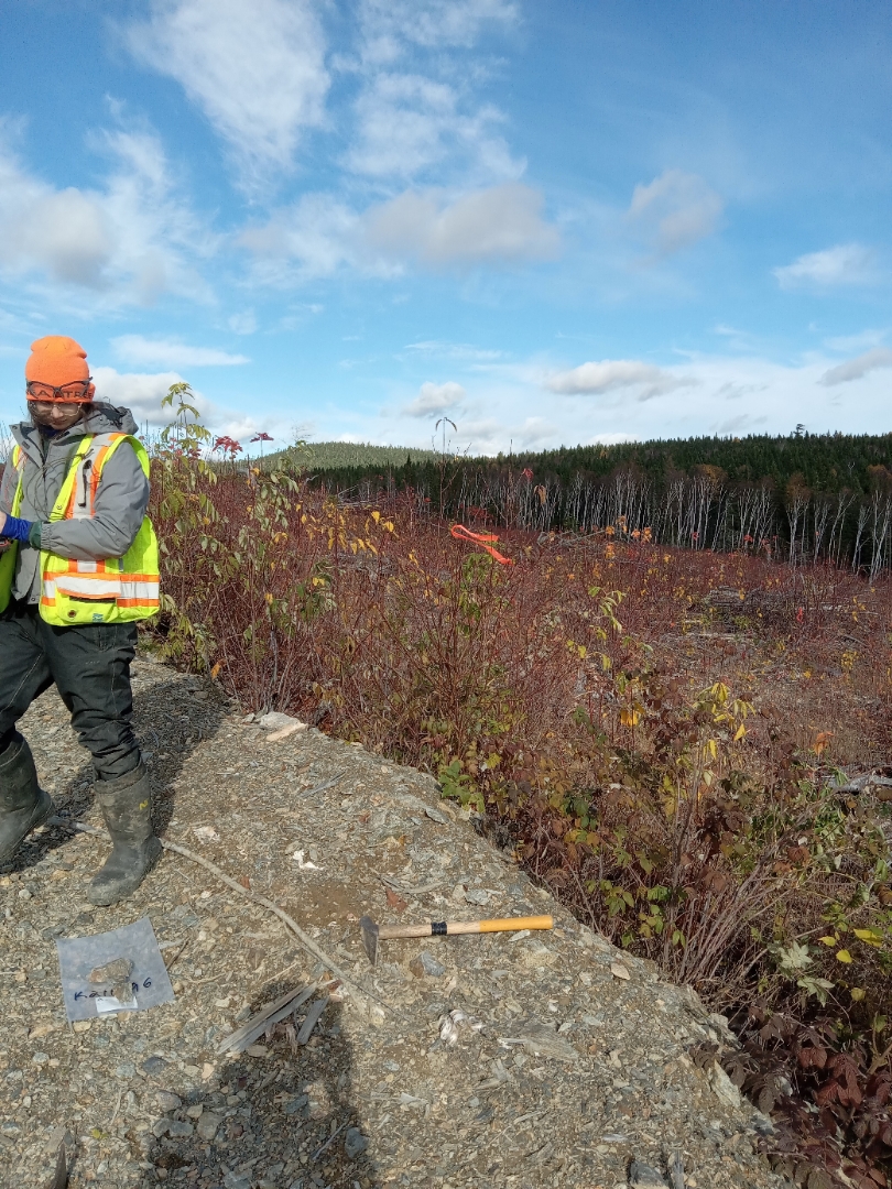
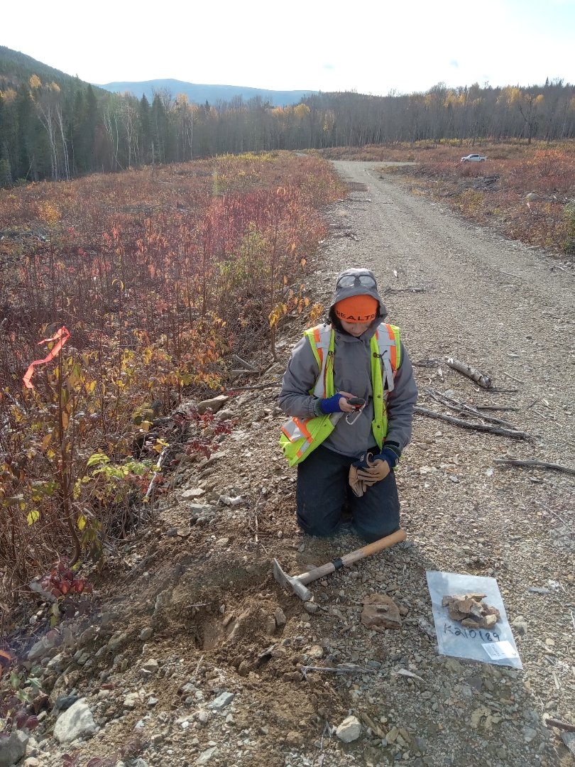
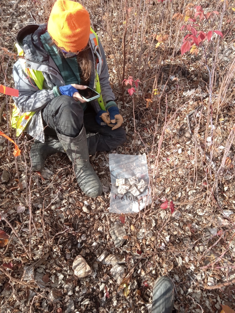
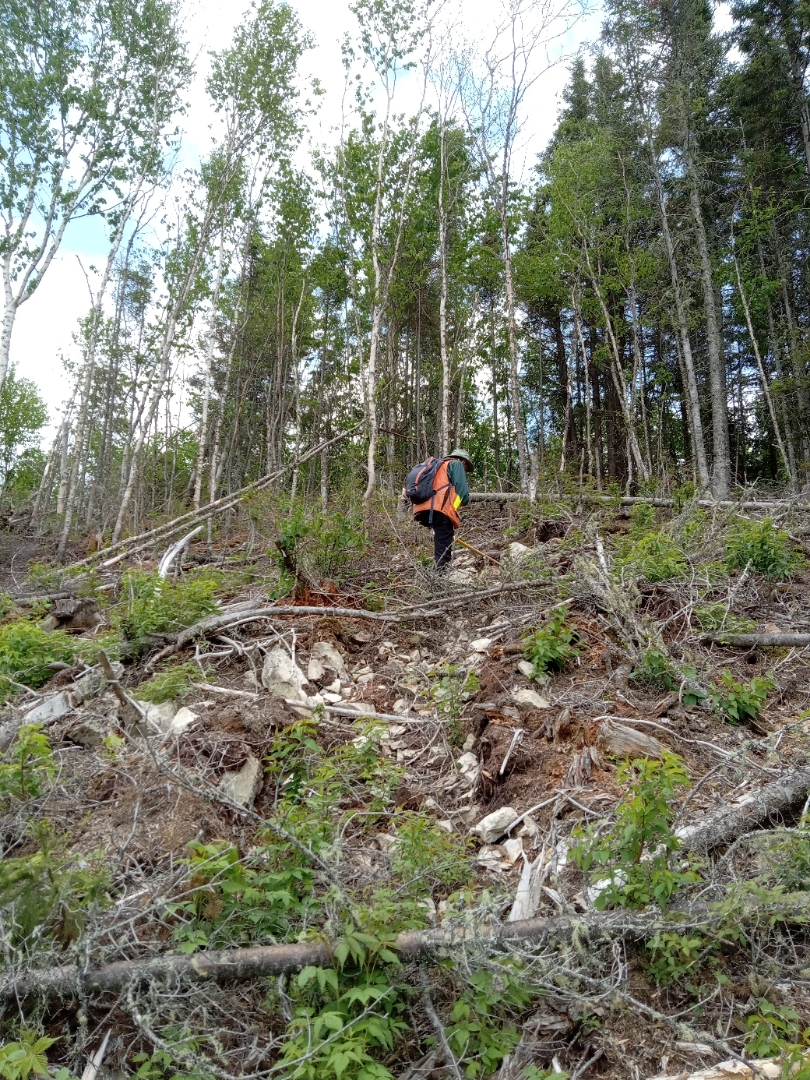
(Results received from 920 samples, assays pending remaining 1,113) - Prospecting and geological mapping of key areas (collection of 236 rocks; assays up to 17% Cu from Restigouche C5)
- Highlights: discovery of massive sulphides between Restigouche and Murray Brook deposits
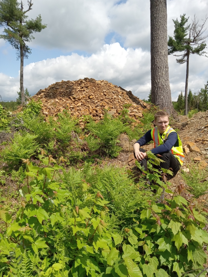
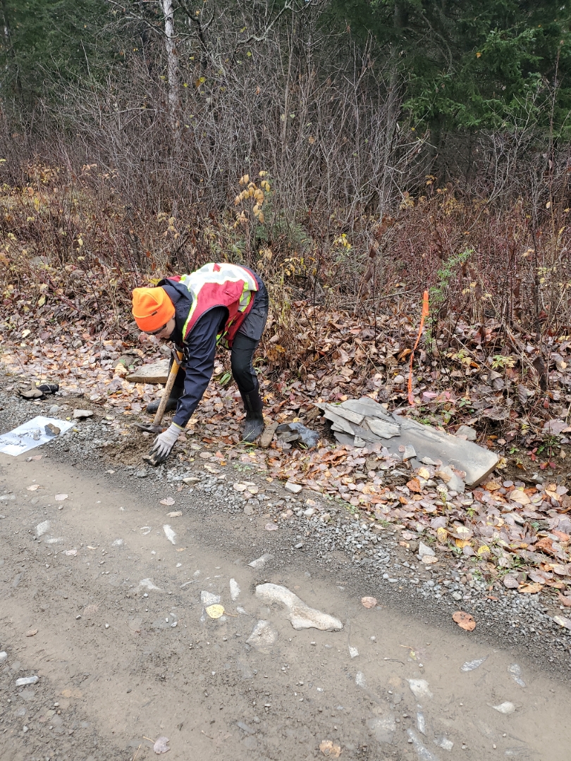
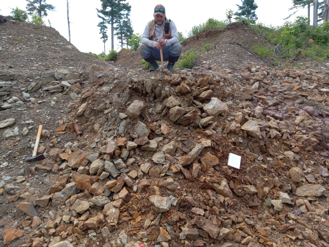
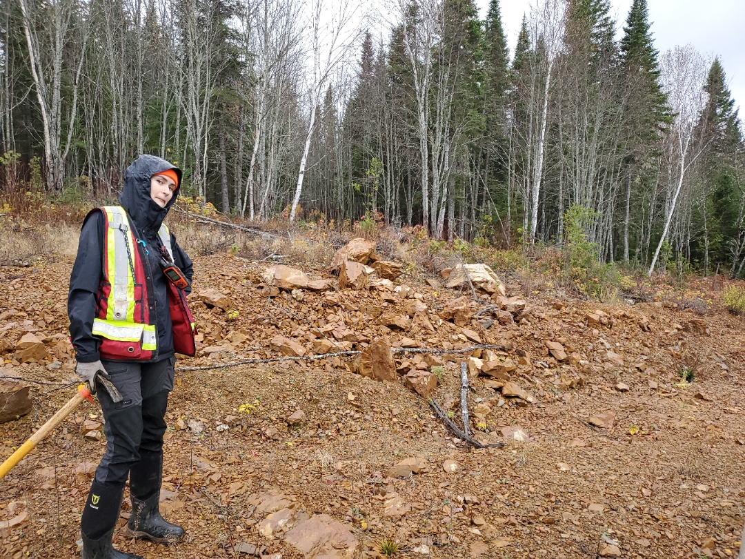
Trenching at FH: Trenching Program A total of three trenches (T4, T7, and T8) were excavated, totaling 245 metres in length and exposing 192 metres of bedrock, at the Fossil Hill Zone The trenches exposed massive mafic volcanic and mafic volcanic breccia rocks, locally siliceous, of the Armstrong Formation, Sormany Group. A total of 93 samples were taken including 68 grab samples* of bedrock taken at 1 to 3 metre intervals, 11 grab samples of float, and 14 channel samples ranging from 0.1 to 1.0 metres in length (Figure 4). Copper assay results range between 5 to 9,590 ppm, with three outcrop samples above 9,000 ppm Cu.
Option Agreement and Aquisition Terms
The Company has acquired the Rocky Brook Project via staking and four option agreements: two option agreements dated December 16, 2024, the Fournier Lake Agreement (covering 7 mineral claims) and the Boudreau Brook-Fossil Hill Agreement (covering 32 mineral claims); one option agreement dated February 26, 2025, the Restigouche Agreement (covering 24 mineral claims); and one option agreement dated January 28, 2026, the Oxford agreement (covering 5 mineral claims).
The Company can earn a 100% interest in the Rocky Brook Project by paying a total of $190,000 in cash (of which $30,000 has been paid), issuing $400,000 in cash and/or consideration shares (of which $60,000 has been paid through the issuance of 388,601 common shares), and issuing 1,566,000 common shares (issued).
The Optionor retains a 2% Net Smelter Return Royalty (“NSR”) for the Fournier Lake, Boudreau Brook-Fossil Hill, and Restigouche agreements, with 1% of the NSR purchasable at any time by the Company for $1,000,000. The Company has a Right of First Refusal on the remaining 1% NSR. The Optionor retains a 1.5% NSR for the Oxford agreement, with 0.5% of the NSR purchasable by the Company for $500,000. Magna Terra has a Right of First Refusal on the remaining 1% NSR.
All share issuances will be based on the greater of $0.05 per share or the 10-day volume-weighted average price on the date a payment is due, and the Company elects to make such payment in common shares.
The Company has also staked 431 claims in 12 mineral licences covering a total area of 9,395 hectares.
Technical Reports and Documentation Notes
The technical content of this website has been reviewed and approved by David A. Copeland, P.Geo., Vice President, Exploration with Magna Terra Minerals Inc., a non-independent “Qualified Person”, under National Instrument 43-101 – Standards for Disclosure for Mineral Projects.
All quoted drill core and rock samples results were compiled from historic assessment and government reports obtained from the government of New Brunswick. The Qualified Person has not completed sufficient work to validate these historic results.
* Grab samples are selective by nature and may not represent the true metal content of the mineralized zone.
^“Technical Report and Updated Mineral Resource Estimate of the Murray Brook ZN-PB-CU-AG Project New Brunswick Canada” (effective October 3, 2023) prepared by P&E Mining Consultants Inc. for Canadian Copper, and filed on www.sedarplus.ca
**McCutcheon, S. R., & Walker, J. A. (2020). Great Mining Camps of Canada 8. The Bathurst Mining Camp, New Brunswick, Part 2: Mining History and Contributions to Society. Geoscience Canada, 47(3), 143–166
All quoted soil and lake sediment samples results were compiled from historic assessment and government reports obtained from the government of Newfoundland and Labrador. The Qualified Person has not completed sufficient work to validate these historic results.