Overview and Location
The Humber Project is an early-stage conceptual exploration project located outside of Corner Brook, Newfoundland, Canada. The Project is focused on critical minerals and comprises 1,997 claims in 21 mineral licences covering a total area of 49,925 hectares (Figure 1).
The Humber Project covers four separate licence blocks (Blocks 1, 2, 3 and 4) that are located 31, 45, 11and 15 km north of Corner Brook, respectively: on NTS Map Sheets 12H/04, 12H/05 and 12G/01. The Project is accessible by a network of gravel and logging roads that extend from provincial highways (HWY 430 at Deer Lake, HWY 431 at Wiltondale, and HWY 440 at Hughes Brook and Cox’s Cove).
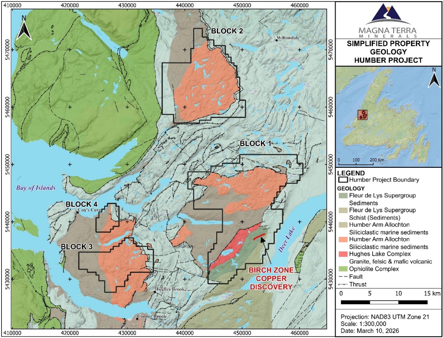
Figure 1: A map showing the Humber Copper-Cobalt Project with underlying geology of the Humber Arm Allochthon and location of the Birch Zone.
Project Highlights
Geology
The Project is underlain by sedimentary rocks of the Humber Zone of the Newfoundland Appalachians, more particularly the Ordovician-aged Humber Arm Allochthon Allochthon; a section of shelf sediments that have been accreted (thrust) onto Precambrian Grenville basement (Long Range Massif) and associated Late Cambrian to Middle Ordovician carbonate (and related rocks) sediments of the St. George, Port au Port and Table Head groups (Williams et al., 1983; Knight, 1994). The Humber Project is specifically underlain by rocks of the Bonne Bay Group or equivalents.
The sedimentary Humber Arm Allochthon and adjacent plutonic and volcanic Hughes Lake Complex are host to coincident anomalous copper (Cu), cobalt (Co), lead (Pb), silver (Ag), molybdenum (Mo), gold (Au), arsenic (As), and antimony (Sb) lake sediment values (Figures 1 and 2). These rocks have been variably deformed and metamorphosed, which are known to create favourable deposition environments for these deposit types.
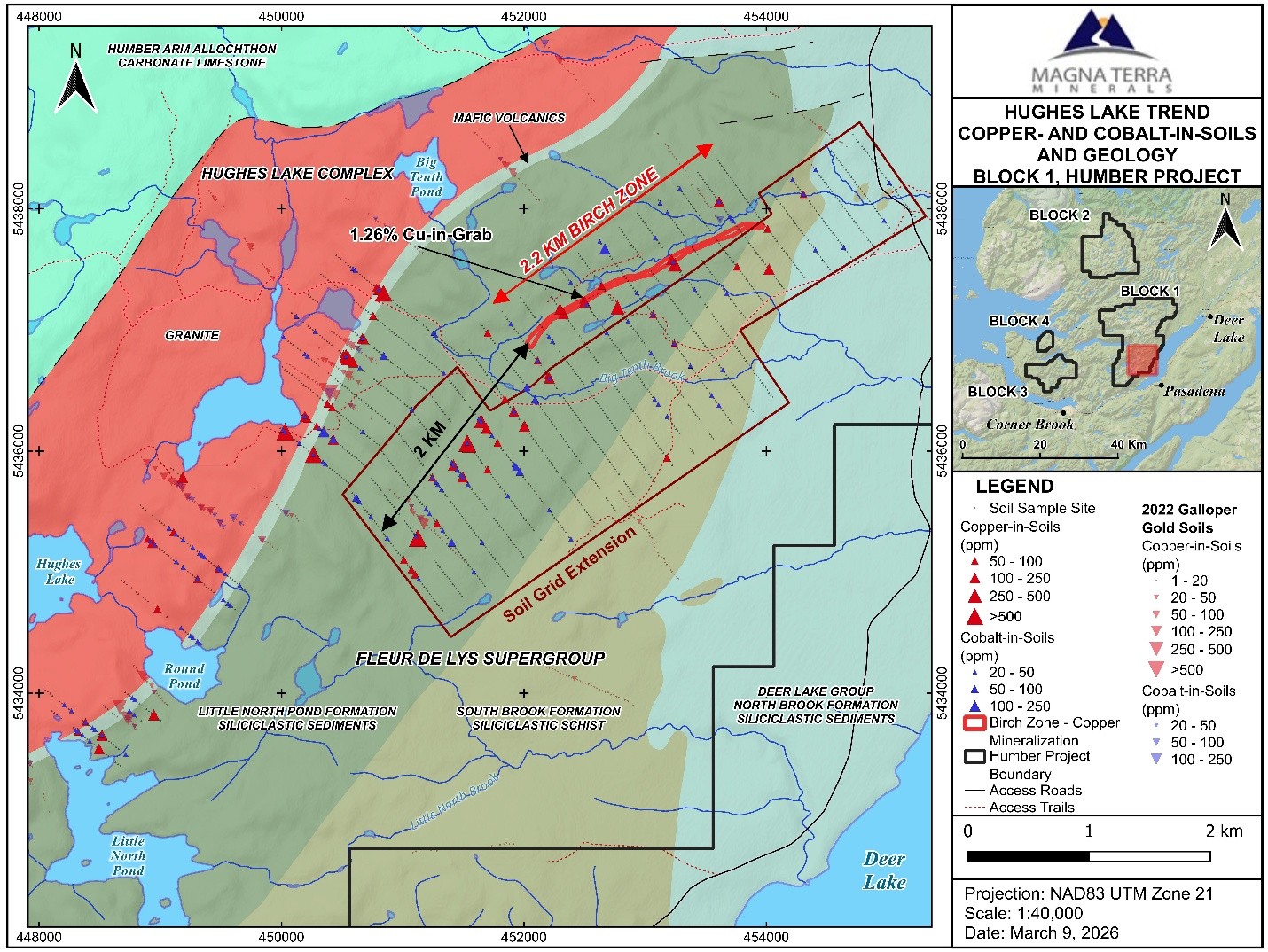
Figure 2: A map showing the soil samples highlighting elevated Cu and Co with 2022 Galloper Gold Corp Cu and Co results and the Birch Zone overlying the regional geology, Humber Copper-Cobalt Project.
The Hughes Lake Trend is underlain by Neo-Proterozoic to Cambrian-aged plutonic and volcanic Hughes Lake Complex that are in fault contact with the adjacent Humber Arm allochthon.
The Hughes Lake Trend is defined by an 8 km long anomalous zone of copper and cobalt in rock and soil samples that is coincident with mafic volcanic rocks of the Hughes Lake Complex and associated magnetic rocks. The Hughes Lake Trend returned rock samples grading up to 1.26% Cu. Importantly, historic soil samples** assay up to 524 ppm Copper with 17 of 646 (2.6 %) samples assaying >75 ppm Copper and 33 of 646 (5%) samples assaying >50 ppm. Soil samples** assay up to 111 ppm Cobalt with 12 of 646 (1.8%) samples assaying > 50 ppm Cobalt and 26 of 646 samples (4%) assaying > 25 ppm Cobalt (Figures 3 and 4).
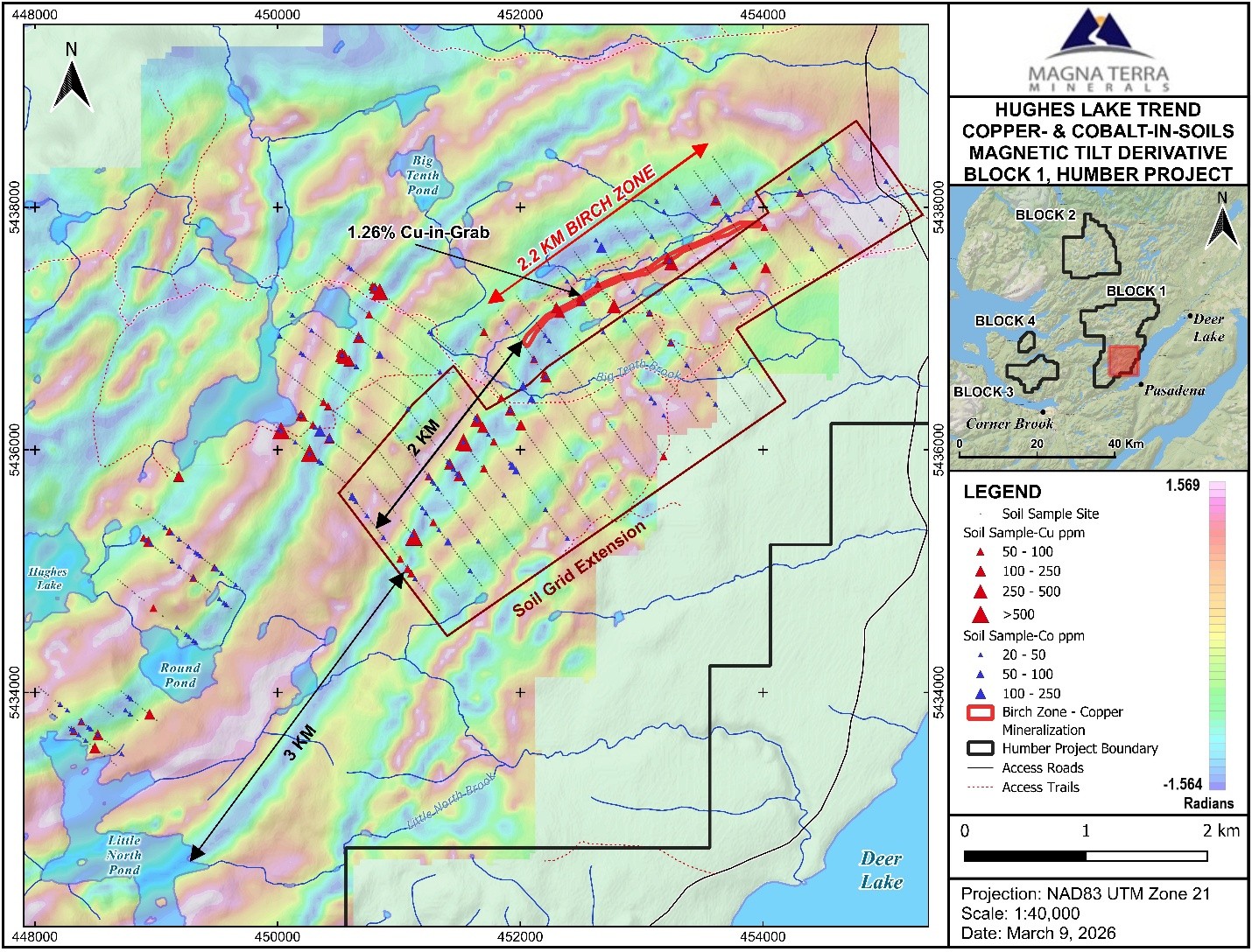
Figure 3: A map showing the soil samples highlighting elevated Cu and Co with the Birch Zone overlying the Tilt Derivative Magnetic Survey, Humber Copper-Cobalt Project.
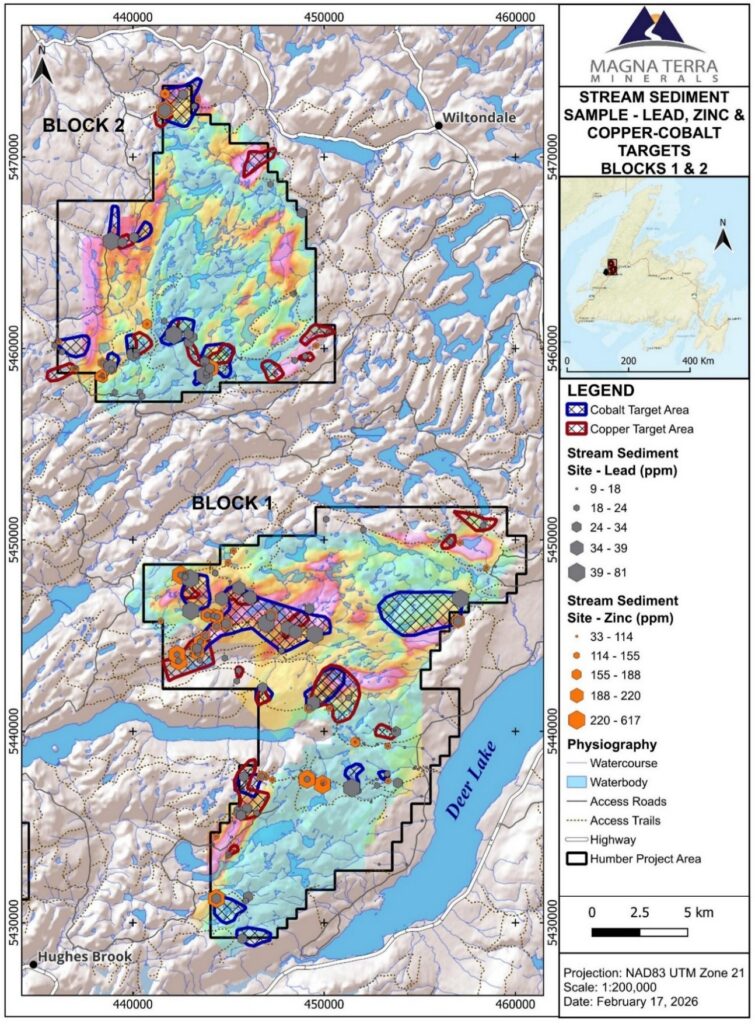
Figure 4: A map showing stream sediment samples (Pb and Zn ppm) and interpreted cobalt-copper catchment basin target areas overlying EM conductivity, Humber Copper-Cobalt Project.
This metal signature and geological environment is supportive of the area being host to Sediment-hosted Stratiform Copper (“SSC”) Deposits. SSC Deposits host 60% of global Cobalt production^ and 20% of global Copper production* in deposits such as the Central African Copper Belt, which is thought to be analogous to the geological setting of the Humber Copper-Cobalt Project. The exploration potential is also underscored by the presence of nearby base metal deposits, including the York Harbour and Daniels Harbour deposits located at lower stratigraphic levels of the region.
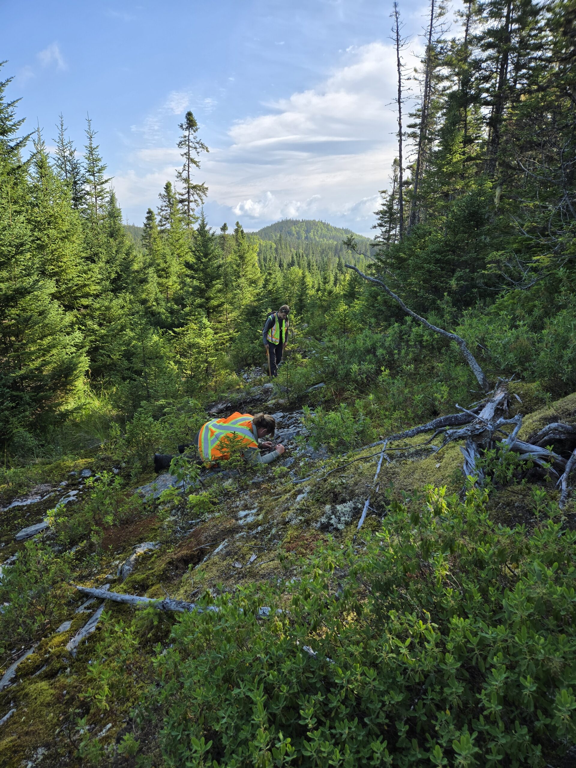
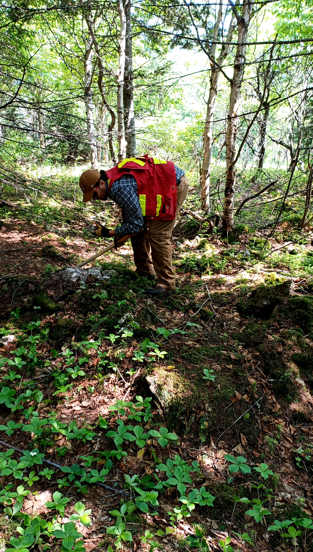
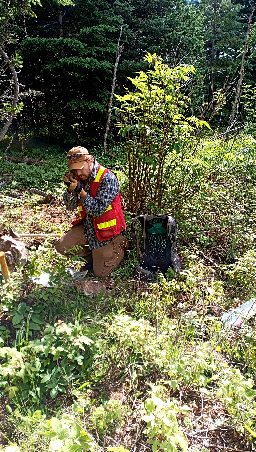
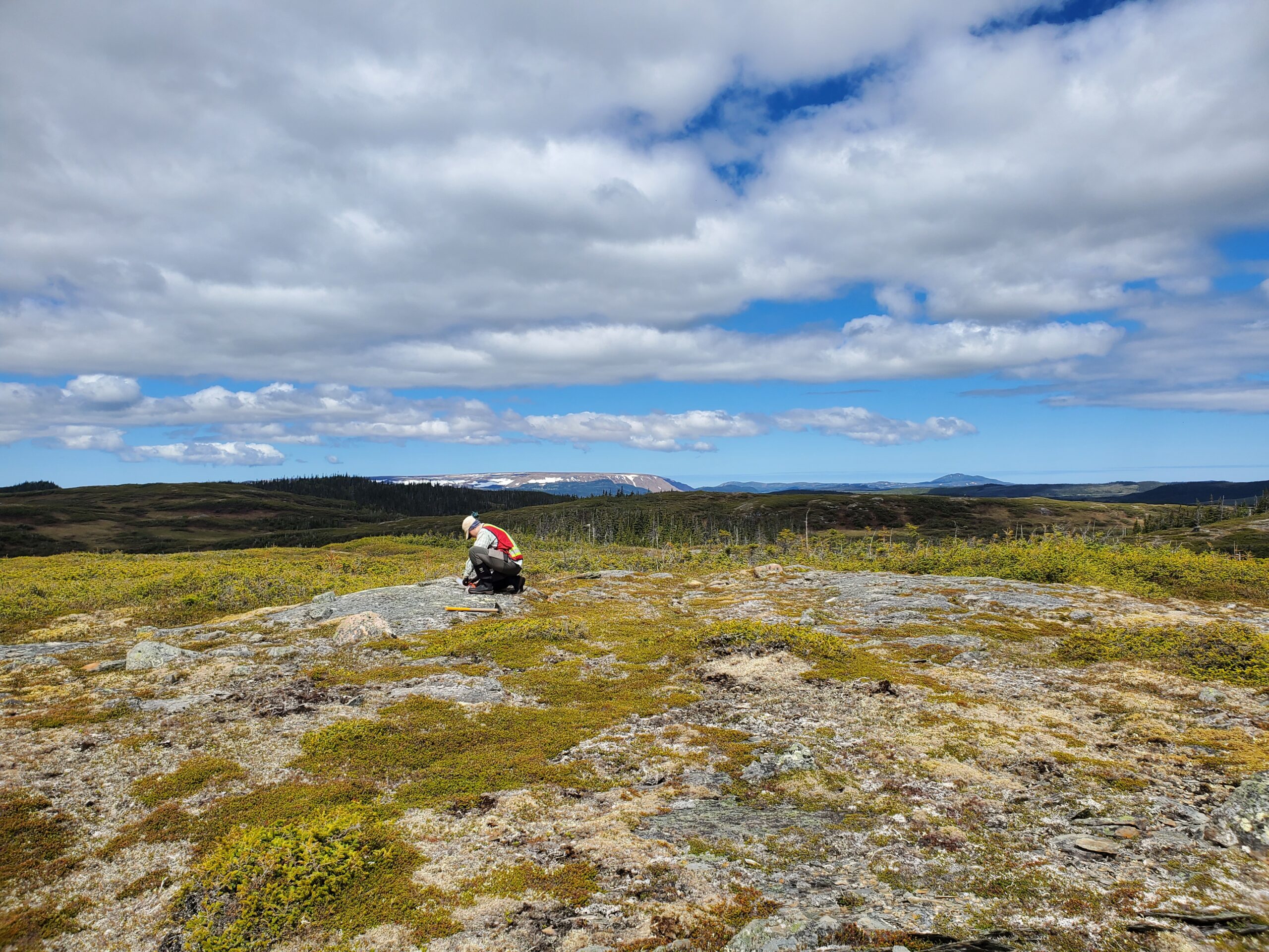
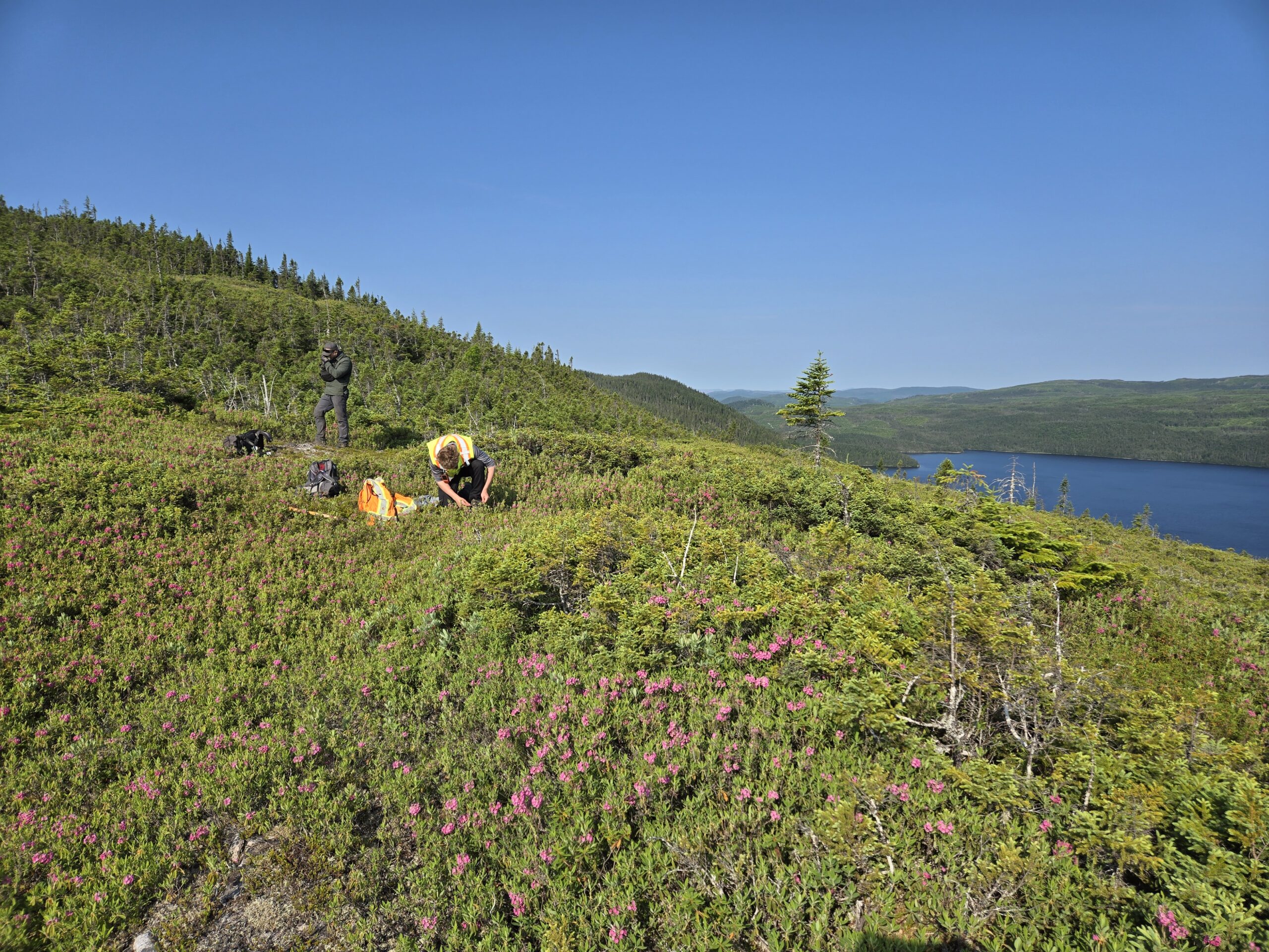
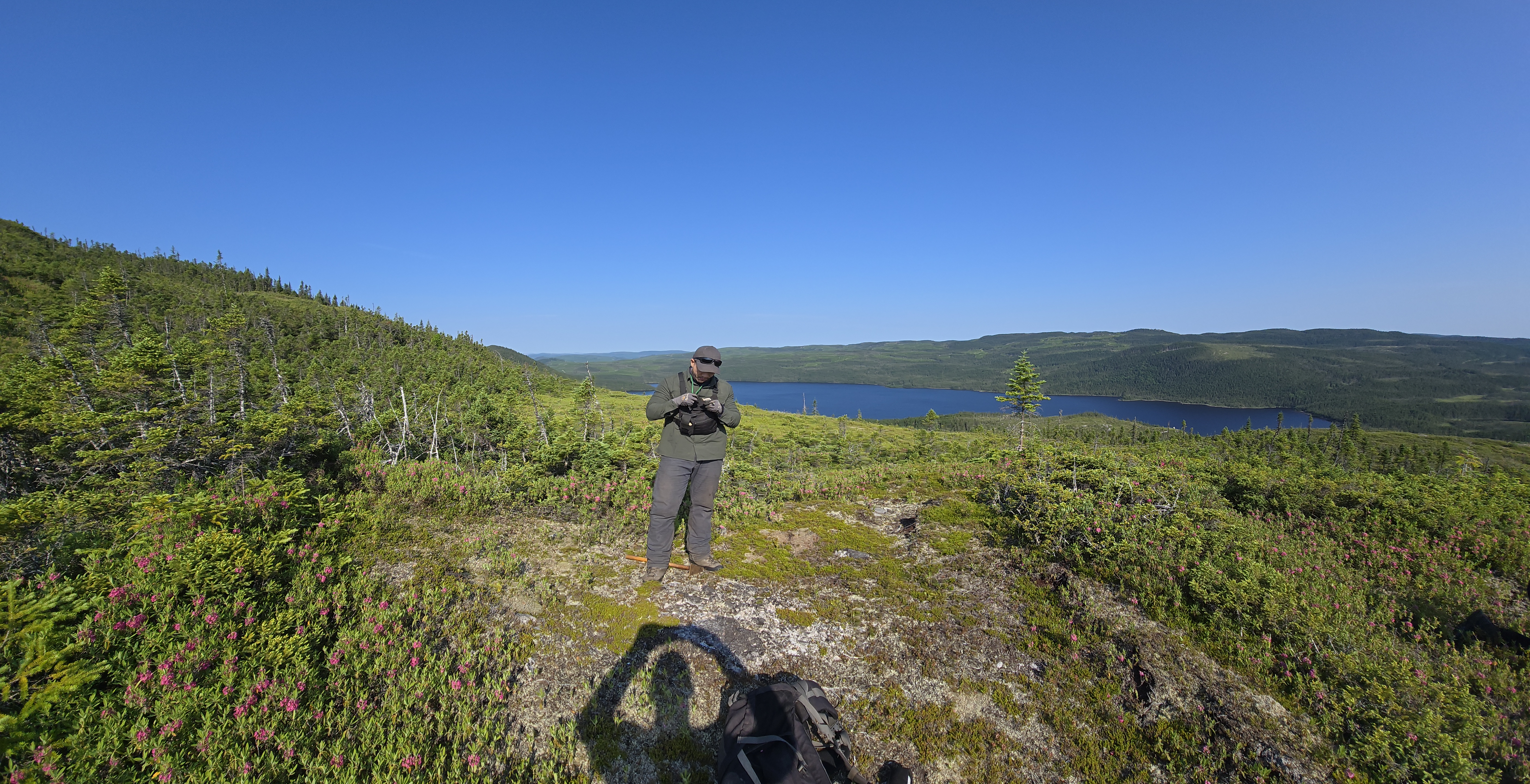
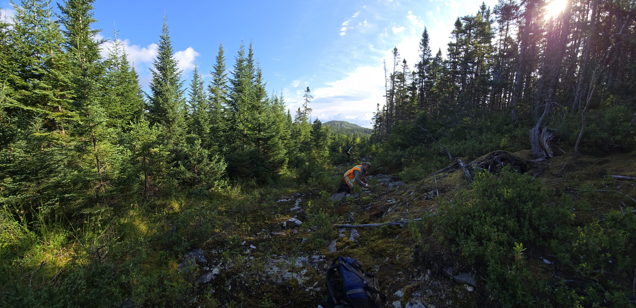
2025 Exploration at the Humber Project
Technical Reports and Documentation Notes