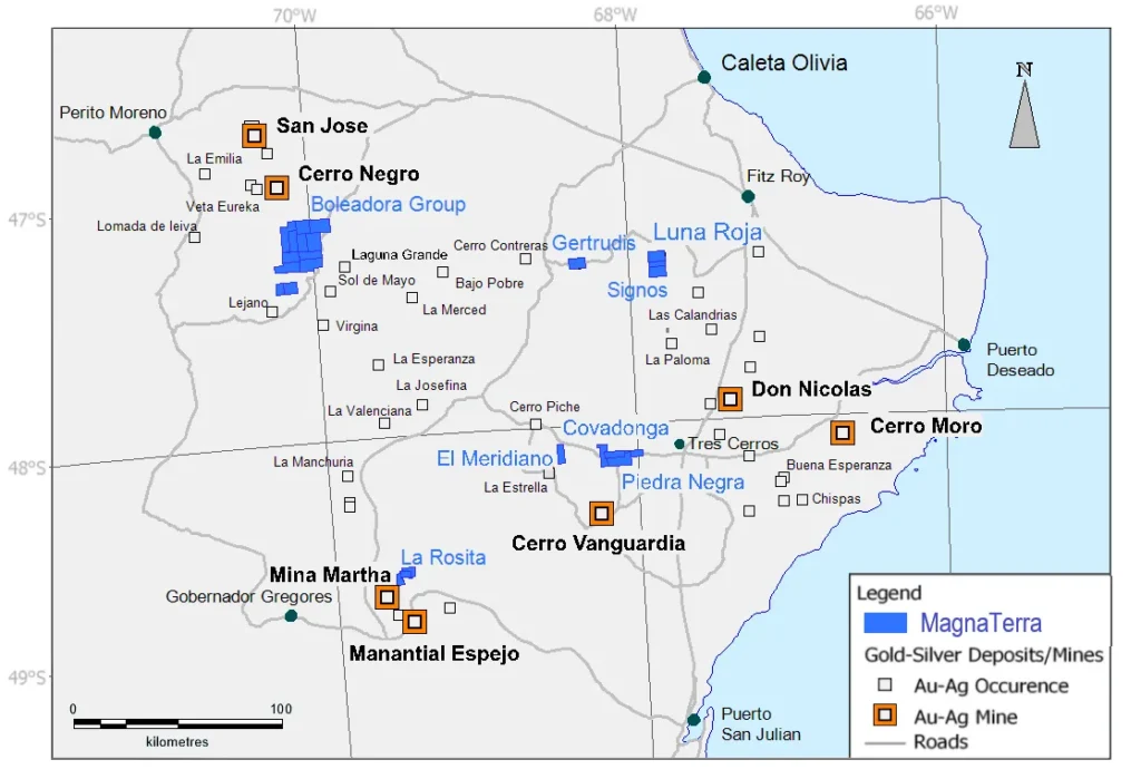
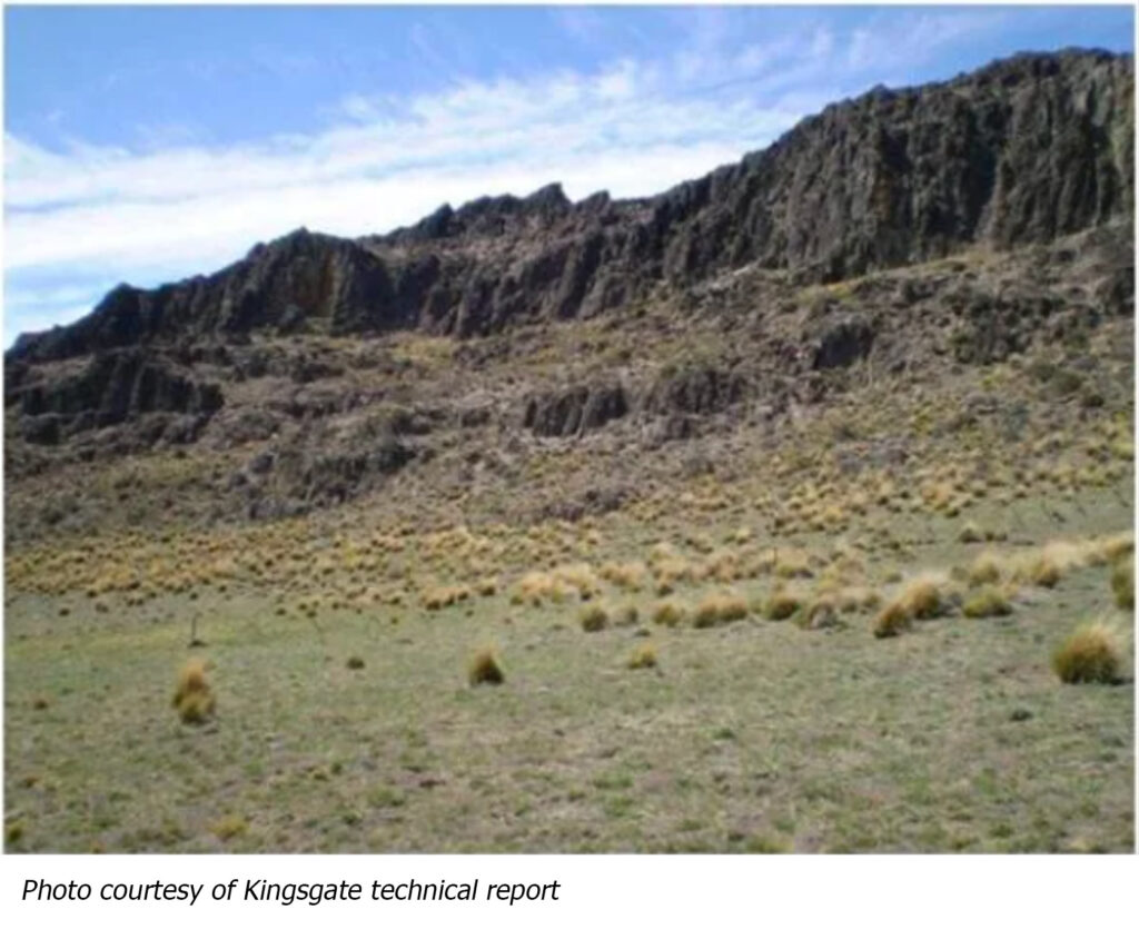
The Company’s initial analysis of the area is based upon examination of Kingsgate sampling and mapping, public data from SEGEMAR, and analysis of Thematic Mapper images; the latter being processed for lithological and structural interpretation as well as identification of zones of alteration.
The SEGEMAR geology Map “Destacamento La Maria” indicates that the properties are dominated by the Chon Aike formation, however, Kingsgate geologists mapped the overlying Matilde Formation in several of the properties at the district scale.
The structural regime is dominated by north-northwest striking regional normal and strike slip structures with northwest and west-northwest dilatational structures that are known to be favourable for mineralization in the Massif. Some of these structures appear, in satellite images, to form flower structures associated with intrusives and alteration. The Thematic Mapper analysis defines 75 alteration pixel cluster anomalies, which we have combined to form maps of high probability for, reducing the number of hectares to visit from 50,000 to approximately 10,000.
The Company expects that including Boleadora into Newmont’s regional Cerro Negro exploration program, along with the application of their proven exploration technologies, will add significant value to the project, and ensure that it is advanced in the near-term.